Wednesday, May 24, 2006

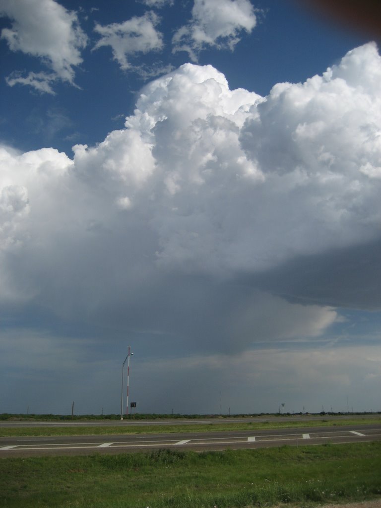
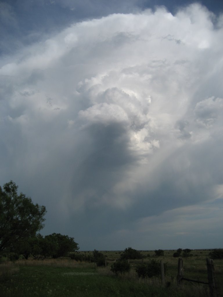
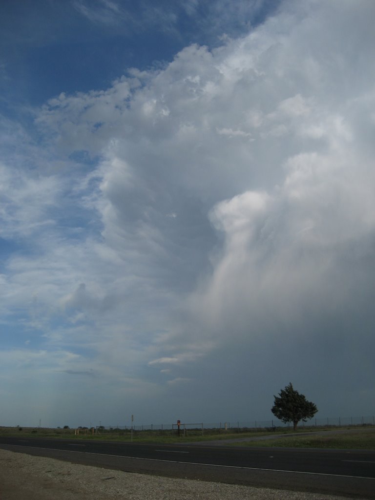
Tuesday May 23 Summary in Southern Nebraska

I decided to leave late (after morning laptop issues) for southern Nebraska on Tuesday. Should be said that my tornado expectations were low, but I thought there'd be decent storms. In short, I ended up being just ahead of the main convective line as it developed southward across far southern Nebraska into northern KS. There were quite a number of strong/damaging wind reports, including an 81 mph gust at the NWS Hastings office with power pole/tree damage in Hastings. I managed to stay ahead of/parallel the line as to avoid the stronger winds.

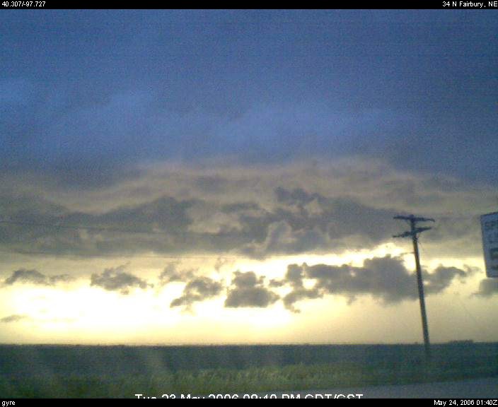
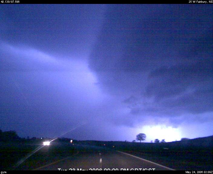
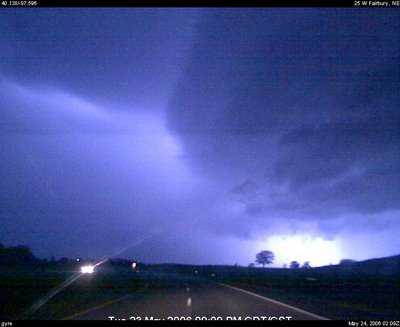
Below are a couple of webcam capture highlights -- the first is as the shelf cloud is beginning to surge just before dark (at my latitude anyways) as I sat in northwest Thayer Co. between Davenport and Carleton, NE (southeast of Hastings). There is also a java time lapse available. The second picture is a lightning illuminated shot of the arcus cloud as I'm driving south parallel to it near Hebron, NE (along the NE/KS border).


Thursday, May 18, 2006

A Different Brand of Convection

Pictures of a Pyrocumulus cloud caused by fire(s) along the Canadian River west of Norman/south of Oklahoma City. Taken from the middle of Norman at 250 pm on Wednesday May 17.

Monday, May 15, 2006

May 14 Summary and Rest of the Week

We left Sweetwater, TX late Sunday morning to head south to San Angelo. As we neared San Angelo, we subsequently watched towering cu to our south/southeast along several outflow boundaries and cold front. As storms continued to develop/zipper west through the afternoon, we dropped south from Junction TX, ending up along I-35 between San Antonio and Laredo. In all, we saw multiple supercells from various distances, while also flirting with large hail cores several times.

Front has now surged well south/west, such that we are now 'down and out'. Heading back to Norman.

Saturday, May 13, 2006

May 13 Summary and May 14

We chased high based convection across northwest/west central TX today -- namely in the Haskell/Stamford areas north of Abilene/I-20. I think our modest expectations today were exceeded, namely by a high based pseudo-(super)cell that literally developed overhead as we sat near Stamford. As I said earlier today... "I think this is the best 40 dBz storm I've ever seen!" The storm exhibited LP supercell characteristics, including a nice corkscrew mid level updraft for at least a half hour.

Some pictures from today are below -- click the images for larger images:


Some video clips from today -- note these are very big files (25 MB plus)!!
http://www.deepconvection.com/temp2006/MVI_0210.avi
http://www.deepconvection.com/temp2006/MVI_0221.avi
http://www.deepconvection.com/temp2006/MVI_0224.avi

We'll be chasing across southwest TX tomorrow (Sunday May 14). GPS updates/webcam images will be active pending spotty internet coverage.

Saturday May 13

Desperate times call for desperate measures. After a respite in Norman, we are heading into TX on Saturday. It appears there will be some possibility for storms to develop late Saturday afternoon/early evening across west TX (and perhaps into southwest OK). Still will be dealing with scant moisture after a good "scouring" earlier this week and warm temperatures aloft, however a subtle mid level 'ripple' and deep boundary layer mixing (well through the 90s across west TX) may provide enough impetus for isolated thunderstorm development during the daylight hours. Would root for this to occur/intercept the western part of north central TX (say Abiline-Seymour), where it appears relatively better moisture/instability and vertical shear would exist. Highly conditional, but would think a high based supercell or two is possible. Got to give it a shot given the apparent pattern over the next week plus. Sunday will probably find us heading toward southwest TX, or perhaps southeast NM.

Wednesday, May 10, 2006

May 10 Summary

Today was a first -- chasing in northeast LA into far west central MS. Saw some very nice storms and great supercell structure, namely from a distance. Even in the less forest-dense areas near the MS River, terrain and road logistics were quite a complication, let alone the thick moisture-rich haze. Today was an "experience" to say the least. Even though logistics/visibility was difficult, I think we're glad we gave it a try, especially given the pattern that's now setting in.

We are now shut down for at least the next two days. Although seemingly low end, there's a chance there may be chase potential Saturday in OK along a pseudo warm front in presence of modest moisture. Things can't get much more quieter for mid May.

Tuesday, May 09, 2006

Tuesday May 9 and Monday Recap (resend)

Chasing today in Oklahoma. Although somewhat shallow, morning observed soundings from Norman/Dallas Fort Worth suggest current upper 60s F dewpoints may be maintained across southern/eastern OK. Background characteristics are favorable via very steep mid level lapse rates already in place, and evolution of upper trough and adequate westerlies aloft/wind fields for supercells. Will have to have to see what current outflow boundary extending in central OK does. Certainly has a chance to "cook", and orientation would seemingly be favorable given expected storm motions later this afternoon. In all, supercells with large hail/isolated tornado potential appears likely late this afternoon/early evening. Probably below average confidence in a specific target as of mid morning, but initial leaning is to sit just south/east of the OKC metro later this afternoon, with a leaning toward south central OK via heat-aided triple point. Terrain/trees are a logistical complication across the eastern 1/3 or 1/4 of OK.

On Monday, chased into southwest/west central Kansas. Fairly unproductive for us, with development well west/north of us along the dryline and cold front with evolution into an MCS by early evening across western KS. Made it as far west as 25 E of Dodge City before deciding to head back to the OKC area.

The next few days seem pretty quiet, with down days likely. I suppose there is a small chance we might do a "hail mary" into the flatter/less tree dense portions of MS on Wednesday, but unlikely given the scenario/logistics.

Sunday, May 07, 2006

Monday May 8 and Rest of Week

Sunday evening update... with tempered expecations, John M. and I planning to chase on Monday. Initial inclinations are somewhere from far northwest/north central OK into central KS... say along a Woodward/Enid OK to Great Bend/Hutchinson KS corridor. Mid level flow increases with northward extent. It appears the dryline could also try and go across western OK. Curious to see what tonight's convection does and if there are any outflow boundaries in play. Don't feel comfortable with any particular target at this point.

I'm still pretty optimistic about Tuesday, likely in OK -- will be chasing with Gregg arriving around midday. Wednesday may not be out of the question either in TX, pending the hostility of the cold front. Otherwise, the pattern does not look particularly great through the end of the week. All relative, but best hope is for subtle ridging/modest central plains surface high, with the front hanging up along the Rio Grande. That should at least provide an opportunity for a few days of upslope supercell plays across southwest TX/far eastern NM, perhaps as early as Thursday.

Thursday, May 04, 2006

Looking Ahead: May 8-10

Monday through Wednesday (May 8-10) could be rather active, with chases anticipated. After frontal boundary gets knocked south across TX this weekend, better moisture should quickly return northward early next week ahead of southwest states upper trough. GFS/ECMWF guidance appears to be in reasonable agreement that broad trough will evolve into the central states through the middle of next week, with a juicy warm sector in place across much of the southern into central Plains as early as Monday 5/8. After Wednesday 5/10, bout of northwest upper flow appears likely for at least several days. Pending frontal position (hopefully not suppressed too far south), this could yield a few down days Thursday onward and/or perhaps confine us to west TX etc.