May 13 Summary and May 14
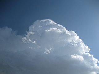
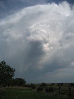
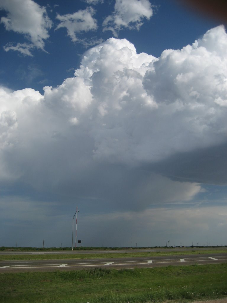
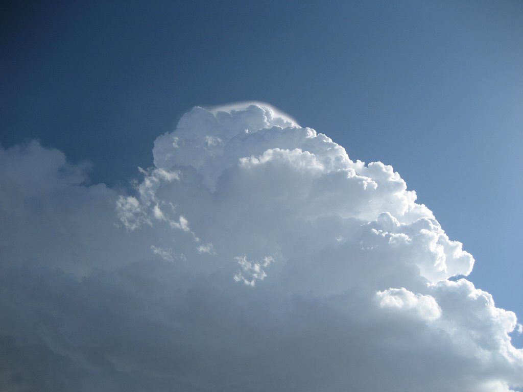
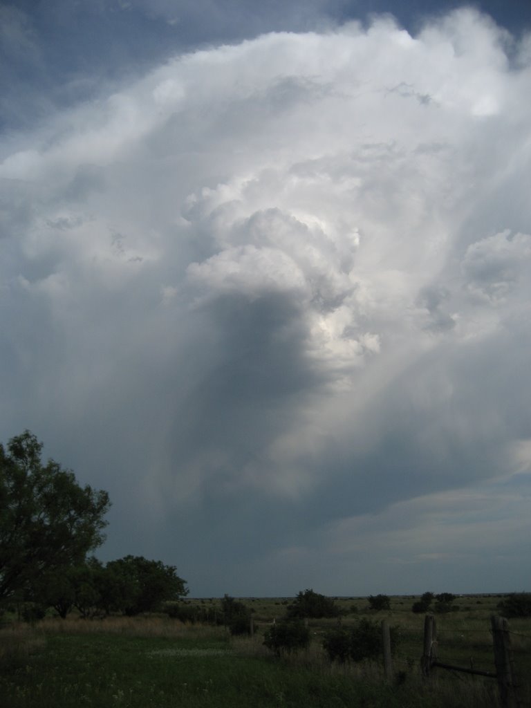
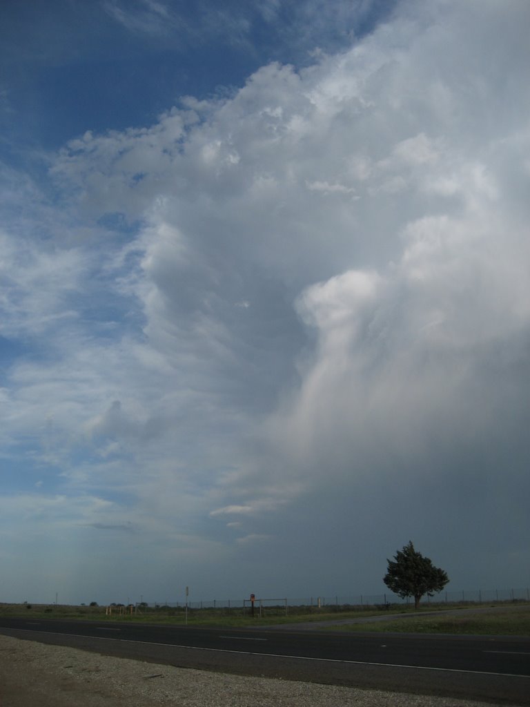
We chased high based convection across northwest/west central TX today -- namely in the Haskell/Stamford areas north of Abilene/I-20. I think our modest expectations today were exceeded, namely by a high based pseudo-(super)cell that literally developed overhead as we sat near Stamford. As I said earlier today... "I think this is the best 40 dBz storm I've ever seen!" The storm exhibited LP supercell characteristics, including a nice corkscrew mid level updraft for at least a half hour.
Some pictures from today are below -- click the images for larger images:


Some video clips from today -- note these are very big files (25 MB plus)!!
http://www.deepconvection.com/temp2006/MVI_0210.avi
http://www.deepconvection.com/temp2006/MVI_0221.avi
http://www.deepconvection.com/temp2006/MVI_0224.avi
We'll be chasing across southwest TX tomorrow (Sunday May 14). GPS updates/webcam images will be active pending spotty internet coverage.
Some pictures from today are below -- click the images for larger images:
Some video clips from today -- note these are very big files (25 MB plus)!!
http://www.deepconvection.com/temp2006/MVI_0210.avi
http://www.deepconvection.com/temp2006/MVI_0221.avi
http://www.deepconvection.com/temp2006/MVI_0224.avi
We'll be chasing across southwest TX tomorrow (Sunday May 14). GPS updates/webcam images will be active pending spotty internet coverage.
posted by Jared Guyer at 11:19 PM
![]()

1 Comments:
Nice looking cell there, Guyer. I just finished watching the video clips. Looks like you did pretty good for what you had... Good luck on the rest of the trip!
Post a Comment
<< Home