On Friday, we decided to chase in southeast KS (versus say central IL) largely for logistical reasons. Plus, it gave us a chance to see our friend Ed Roberts in KC on the way south from St Joseph MO. We didn't have much robust development before dark along the prefrontal trough we were targeting, but we were treated to a nice lightning show after dark as we headed toward our hotel in Independence KS.
On Saturday, we ended up on two supercells in Osage Co. OK (northeast OK). We approached these storms from the west after sitting between Enid and I-35, eventually catching the storms and viewing them from the south amidst shaky terrain/road logistics. We saw two well-sustained wall clouds from the two semi-distinct supercells, but no tornadoes. We were again treated to an amazing lightning show (even better than Friday night) on our way back to Kansas City.
On Sunday, Gregg/John and I unfortunately had to say bye to Matt who had to begin driving back to ND. Leaving from KC, one potential chase logistic catastrophe we had to deal with was finding a new power supply for my Dell laptop. After visits to Radio Shack and Best Buy
in Topeka, I was thankfully able to find a suitable replacement. From there, we zipped west on I-70 to Goodland, and then north into the southern NEB panhandle. By this point,
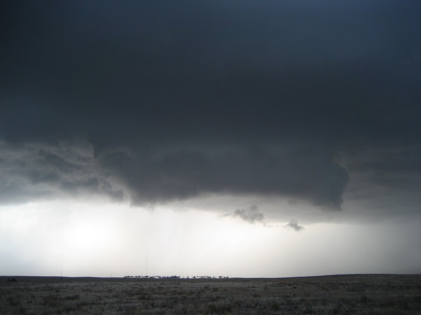
a supercell was evolving near the Bridgeport NEB area. We would follow this picturesque/long tornado warned storm for several hours as it tracked southeastward into extreme northeast CO/far southeast NEB.
After staying in Kearney NEB last night, we are currently headed back west for hopeful supercells and perhaps a tornado a two in western Nebraska and/or northeast Colorado.