Wed May 28 / Thur May 29
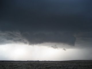
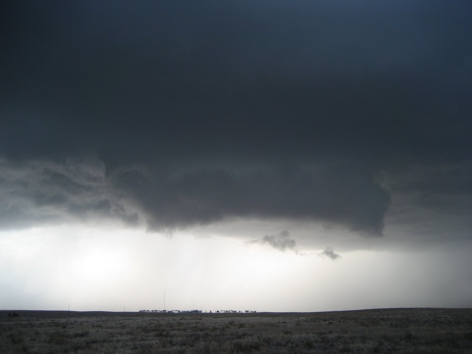
Using Wednesday as a northward relocation day, Gregg/Matt/John and I ended up chasing into eastern Colorado near Kit Carson. We watched an isolated severe-warned storm transition into an LP supercell with a well-sustained/weakly rotating wall cloud. Viewing this storm for about an hour from south/east of Kit Carson, we watched it literally evaporate to nothing as it advanced toward Cheyenne Wells. Below is a picture of the aforementioned wall cloud.
Leaving from Colby Kansas, my cohorts and I will initially be targeting south central Nebraska on Thursday, perhaps the Holdrege-Kearney vicinity for starters. I'm certainly impressed with the overall kinematic setup, perhaps most excited about the 40-45 kt SSW 850 mb flow across the warm sector during the late afternoon/early evening (pre-nocturnal enhancement!) -- with potential for some surface backing ahead of the low along the eastern CO/northwest KS border. The degree/orientation of the shear will provide a more than adequate window for tornadic supercells through sunset. We'll probably limit the south extent of our target envelope to northern KS north of I-70 -- farther south I'm worried about progged higher LCLs/LFCs along the dryline with respect to tornadoes. Chase camera/positioning updates available on the website as connectivity permits.
Friday will likely take us into eastern IA, northern IL, or perhaps MO -- however much mesoscale uncertainty exists given potential for an extensive MCS across IA early in the day.
posted by Jared Guyer at 1:36 AM
![]()

0 Comments:
Post a Comment
<< Home