Erin Remnants
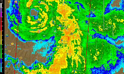
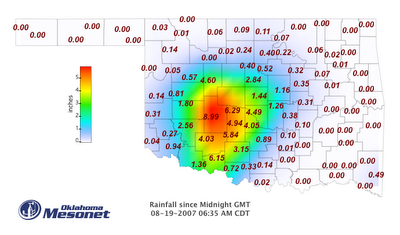
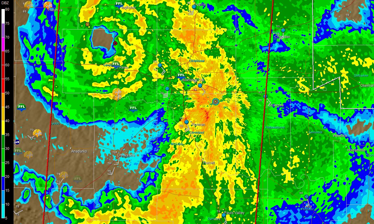
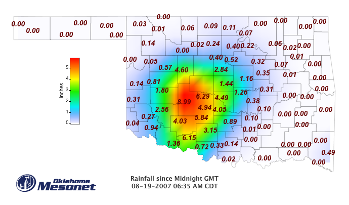
Woke up early this morning to see that "Tropical Storm" (for all intensive purposes) Erin has apparently undergone some intensification/increased organization across west central OK overnight, with very heavy rain/flooding and strong wind gusts problematic. In the attached image, one can clearly the remnant eye of Erin -- Wow! -- just west of the OKC metro in Canadian County -- OKC and Norman are roughly in the center of the image. A quick perusal of some obs early this morning shows we've had 4+ inches of rainfall overnight in Norman, with more to come this morning. We've had 40 mph measured gusts overnight in Norman. Farther west, there's been a number of measured 60-80 mph gusts and reports of wind damage since late last evening closer to the center of circulation, along with considerably higher rainfall amounts (see second image).
posted by Jared Guyer at 6:18 AM
![]()

0 Comments:
Post a Comment
<< Home